On the American International School of Zagreb's fall
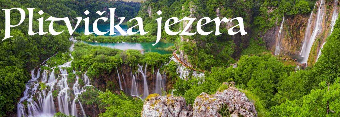
break, we boarded a Flixbus for an overnight trip tp Plitvicka
jezera Lakes, Croatia's oldest national park. Despite
temperatures in the mid-30's Fahrenheit (single digits Celsius),
wind, and rain enlargely enshrouding the lakes in a cold mist,
nothing could mar the spectacular scenery. Truly, there are
probably few places on eath that rival Plitvitce (the shortened
spelling) national park for natural beauty. Given the
increasingly cold and wet conditions, our tour was limited to
the waterfalls and lakes of the lower lakes region. We hope to
return in the spring to see the park in good weather, and to
tour the upper lakes region as well.
 We boarded a bus at
the Zagreb bus station at 8:00 in the morning, riding through
increasingly ominous weather for roughly 2 1/2 hours, being
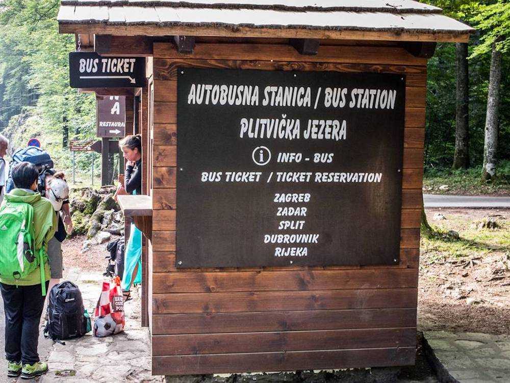
desposited at the bus stop just outside Entrance One to the
park. The photo to the left shows the bus stop. From there we
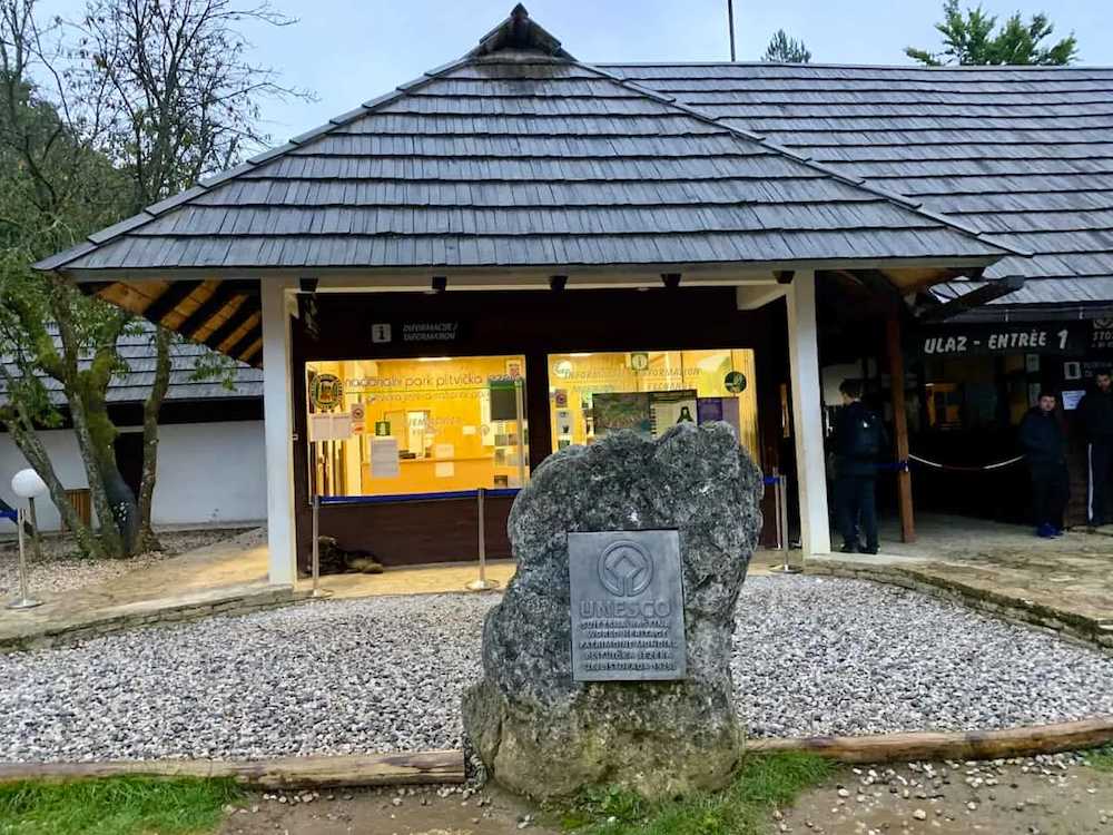
walked a short distance into the park and purchased our tickets
for the day. (Photo to the right) The fee was 360 Croatian Kuna
(about 28 USD or 25 Euros each. Next we walked down a long
zig-zag trail leading to the Veliki Slap, the grand
waterfall near the park entrance.
We boarded a bus at
the Zagreb bus station at 8:00 in the morning, riding through
increasingly ominous weather for roughly 2 1/2 hours, being
desposited at the bus stop just outside Entrance One to the
park. The photo to the left shows the bus stop. From there we
walked a short distance into the park and purchased our tickets
for the day. (Photo to the right) The fee was 360 Croatian Kuna
(about 28 USD or 25 Euros each. Next we walked down a long
zig-zag trail leading to the Veliki Slap, the grand
waterfall near the park entrance.
 The Plitvitce Lakes are a descending series
of lakes ending in the Koran River. Each lake is lower than the
previous one, and they resemble a series of canal locks. The
dams separating each lake is formed from "tuff," a porous
igneous rock. Water flows through the tiff, forming small
waterfalls, and the overflow water is handled by a roaring
stream that connects the lakes. The photo to the right shows one
of the "tuff" dams, while the photo to the right shows the
overflow stream connecting respective lakes.
The Plitvitce Lakes are a descending series
of lakes ending in the Koran River. Each lake is lower than the
previous one, and they resemble a series of canal locks. The
dams separating each lake is formed from "tuff," a porous
igneous rock. Water flows through the tiff, forming small
waterfalls, and the overflow water is handled by a roaring
stream that connects the lakes. The photo to the right shows one
of the "tuff" dams, while the photo to the right shows the
overflow stream connecting respective lakes.
 Our descent to the Veliki Slap began at the
lookout shown in the photo to the left--only the barest outline
of some of the waterfalls were visible in the mist. We followed
the long path down, passing between two of the lower lakes.
Along the wooden walkway were scenes such as the photo to the
right, where the waters rush from the lakes above to the Koran
River below. The 360 panorama below (embedded from Google Earth)
offers a view of the Veliki Slap during milder weather.
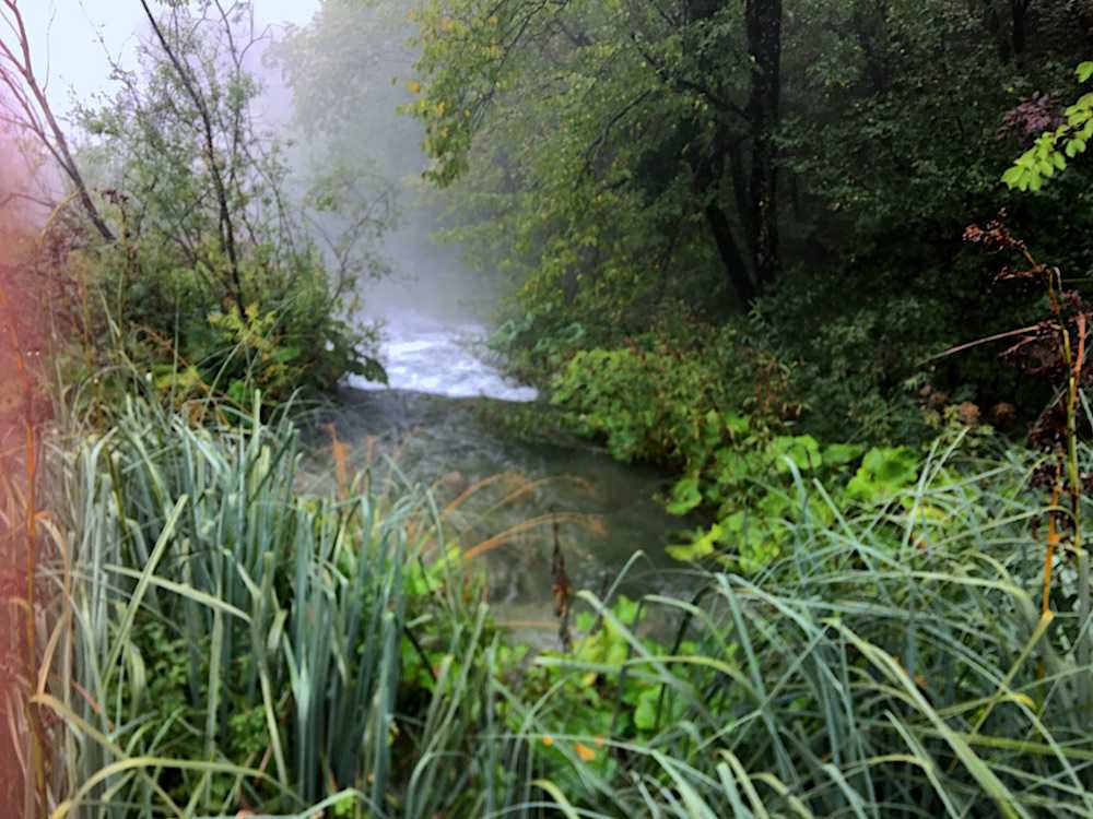
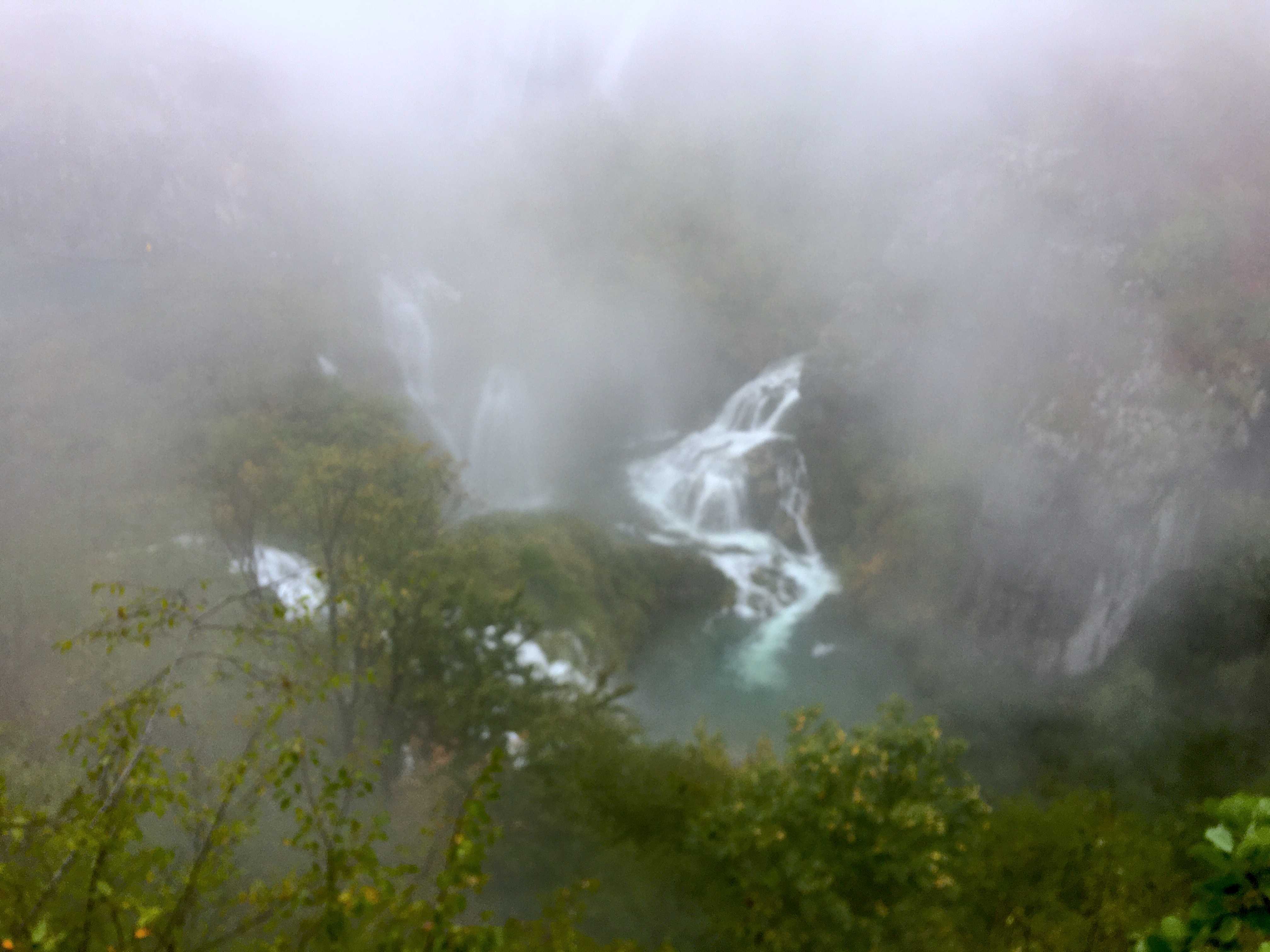
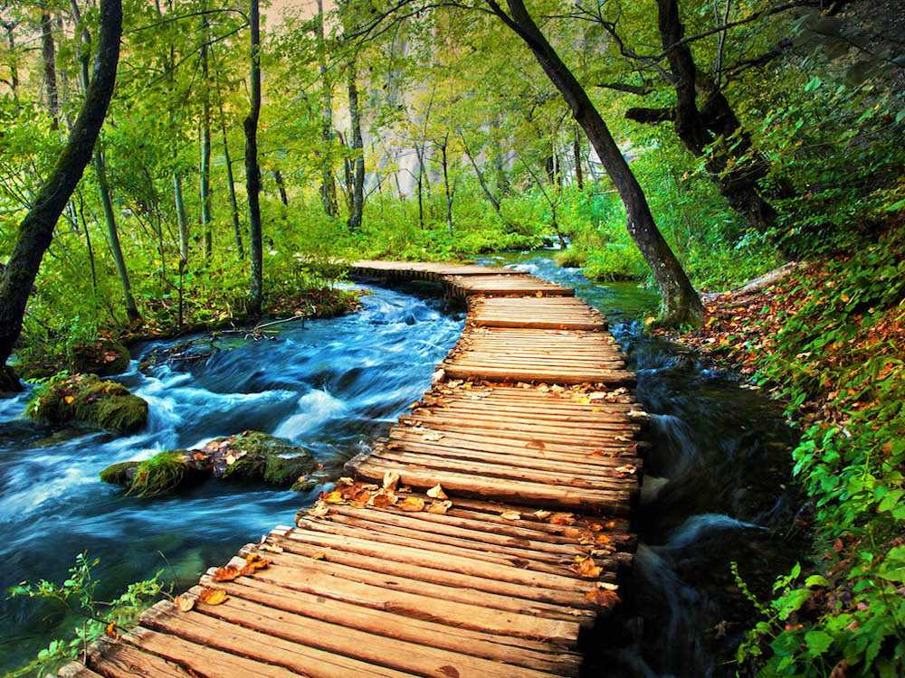
Our descent to the Veliki Slap began at the
lookout shown in the photo to the left--only the barest outline
of some of the waterfalls were visible in the mist. We followed
the long path down, passing between two of the lower lakes.
Along the wooden walkway were scenes such as the photo to the
right, where the waters rush from the lakes above to the Koran
River below. The 360 panorama below (embedded from Google Earth)
offers a view of the Veliki Slap during milder weather.
360 Panorama of Veliki Slap

 Again, due to weather
restrictions our tour was limited to the lower lakes. By the
time we reached the ferry dock for the journey to the upper
lakes, the weather began to look like the onset of a disaster
movie.To the right is a photo from Whisperer Wanderlust which
shows the ferry dock on a much nicer day. To the left is photo
of the ferry during our visit! We chose descretion and walked
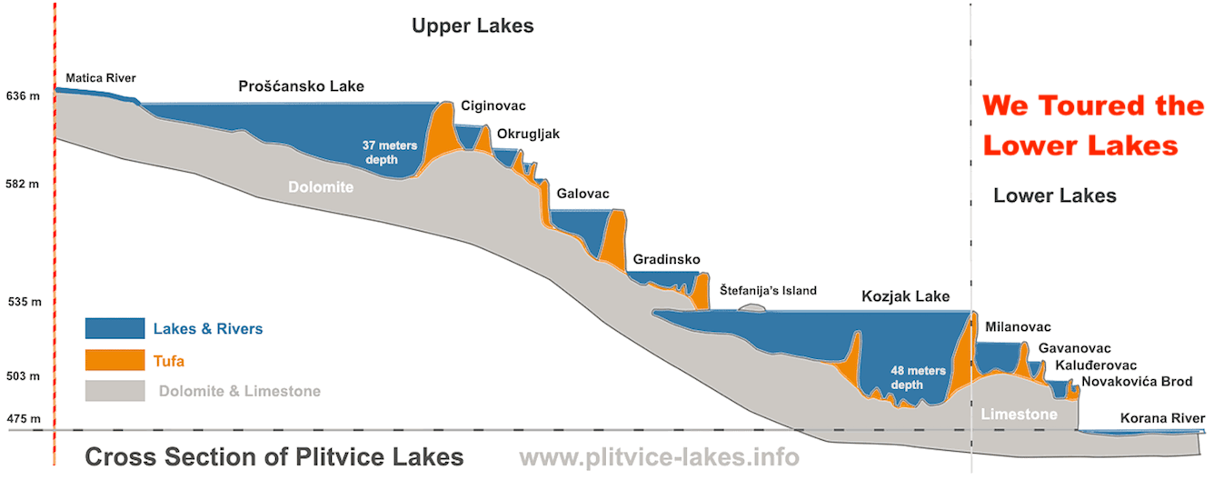
back to the park entrance. Below is a diagram of the entire
lake system. The portion that we covered on our walk from
Veliki Slap is shown in the right hand portion of the diagram.
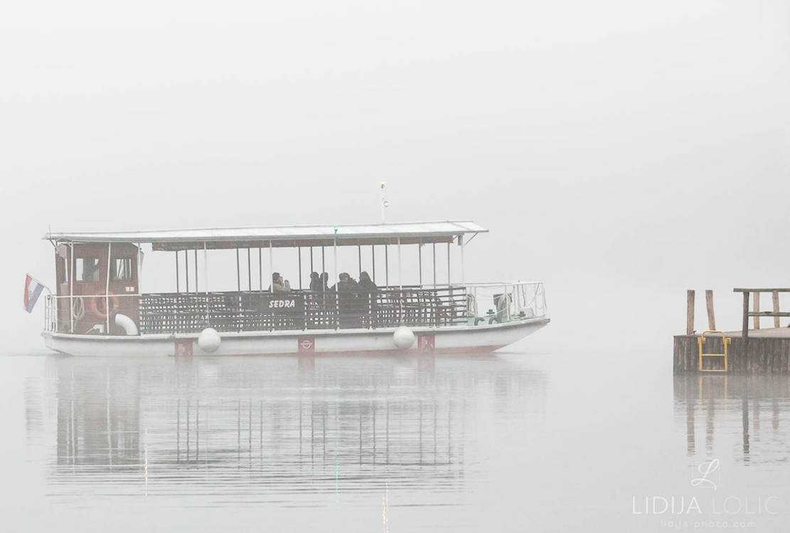
Again, due to weather
restrictions our tour was limited to the lower lakes. By the
time we reached the ferry dock for the journey to the upper
lakes, the weather began to look like the onset of a disaster
movie.To the right is a photo from Whisperer Wanderlust which
shows the ferry dock on a much nicer day. To the left is photo
of the ferry during our visit! We chose descretion and walked
back to the park entrance. Below is a diagram of the entire
lake system. The portion that we covered on our walk from
Veliki Slap is shown in the right hand portion of the diagram.
Diagram
of
the Plitvice Lake System